Moel y Ci
This is a substantial western outlier of the Glyderau range, rising to 396 metres (1303 feet). It is outside the Snowdonia National Park. It was formerly a grouse shoot of the Penrhyn Estate, and was surrounded by a substantial stone wall, to keep the grouse in and the plebs out. Nowadays the wall has been breached and it is open access land, as shown on Ordnance Survey 1:25000 maps.
From the east it is just a minor hill, from the coast and Bangor it dominates the landscape.
The following article is from http://www.heneb.co.uk/merionethcairns/28moelyci.html, with acknowledgement.
28 Carnedd Moelyci, Llandegai
PRN 31 NGR SH590660 SAM
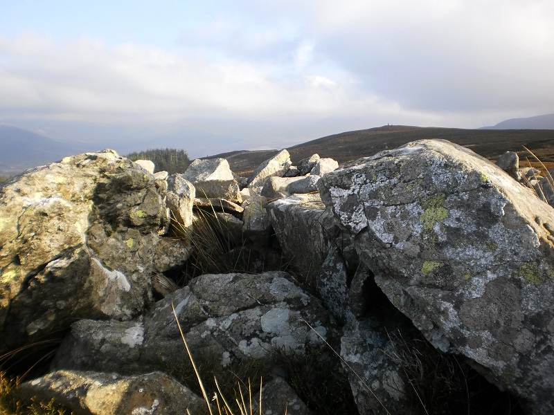
A large cairn, 14m diameter and up to 1.4m high but well spread, with an Ordnance Survey trig pillar on top. It is built of quite heavy boulders requiring great input of effort so is unlikely to be just a walkers’ cairn. The platform-like shape may have been created when the trig pillar was built. About 2m N of the trig pillar is what looks very much like a robbed cist and 0.6m deep with 3 sides formed by upright slabs and a thicker slab lying over these to the S, probably a moved cover slab. The slabs are too large and embedded to have been built by visitors. A fair amount of the cairn has been robbed to build a circular shelter on the NW and there are 3 small outlying recent summit cairns. The cairn is built on the W promontory of the summit plateau, which is the apparent summit or false crest when seen from the nearby lower land to the NW, whereas the actual summit is further to the E. This is good evidence that the cairn belonged to settlement lying in that direction.”
